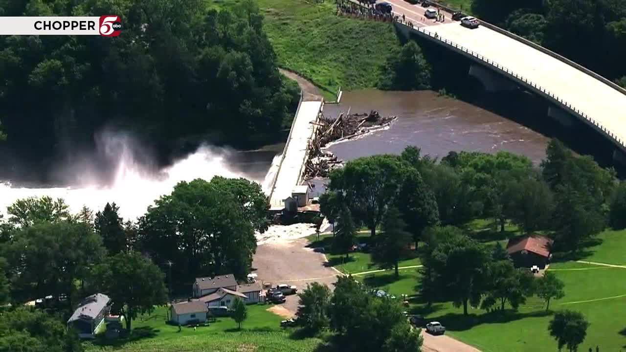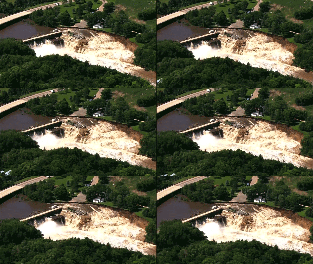
On June 25, 2024, the Rapidan Dam in Blue Earth County, Minnesota, was in imminent failure condition due to floods caused by heavy rainfall. The dam is a century-old structure that has been serving the community for more than a hundred years. However, its age and the increasing frequency of extreme weather events due to climate change have put it at risk.
The support structure alongside the dam partly failed, and gushing waters carved out a nearby cliff. This caused concern among local officials and residents living downstream of the dam. By Tuesday, the main part of the dam was intact, and water flows were beginning to slow down. However, experts warned that decaying state of American dams and dangers they could pose when things go wrong.
Many catastrophic floods begin with dam failures, and breaches in recent years in states like Michigan and Nebraska have led to widespread destruction. With climate change making dangerous weather more common, and the average age of an American dam approaching 60, the problems are only expected to get worse.
Bob Jacobson, commissioner of Minnesota Department of Public Safety, believed that the dam would continue to hold up but more assessments will be needed in the future. He urged residents to stay alert and vigilant as erosion on the west bank is ongoing. A portion of a house on the property closest to the dam has fallen into the river, causing concern among nearby residents.
The dam is located north of the Watonwan and Blue Earth River split, putting pressure on nearby roads and bridges. Lilydale Road in St. Paul has already been flooded, and Hastings police plan to close potentially five roads due to flooding including Highway 61 and East Fourth St.
About seven families will be cut off from higher ground when East Fourth Street floods. Water and Shepard Roads are closed in St. Paul, access is limited to Harriet Island and Upper Landing Park. Flood manager hopes the river crests on Friday, about five feet higher than its current level.
The Mississippi River has reached flood stage in St. Paul, causing moderate flooding that has shut down some low-lying roads and parks. The river's at about 15 feet in the St. Paul area and coming up over Lilydale Road.
However, the forecast calls for the river to rise another five feet by this weekend, so the flooding will get much worse. Only a gate separates the Mississippi River from the waters of the Lilydale Pool and Yacht Club.
In Hastings, pushing boats to higher ground is the sure sign of a Mississippi rising at Hubbs Yacht Club Marina. Bart Shanks, the Hubbs Yacht Club marina manager, expects knee-deep water by the weekend. He has watched the waters encroach on this land many times over the years and knows what needs to go up the hill and what's safer staying on the water.
Potentially knee-deep water under Highway 61 makes it one of five roads Hastings police intend to close. When East Fourth Street floods, Chief Wilson says about seven families will be cut off from higher ground.
They're never surprised by flooding, although it's more common when snow melts in the spring. The same goes for St. Paul, where Water and Shepard Roads are closed and access is limited to Harriet Island and Upper Landing Park, days before the worst flooding arrives.
St. Paul Parks & Rec flood manager Randy Graff urged people to stay safe as water levels rise about 1.5 feet Monday and hope it crests Friday, about five feet higher than its current level.


