Hidden off the US Western shore, beneath the Pacific Ocean, lies a geological danger zone known as the Cascadia Subduction Zone. This 700-mile-long fault is capable of generating earthquakes larger than magnitude 8 and tsunamis that can be felt hundreds of miles away. Recent studies have identified the most dangerous segment along this fault, which spans the coast of Washington, running from the northern Oregon border to southern British Columbia.
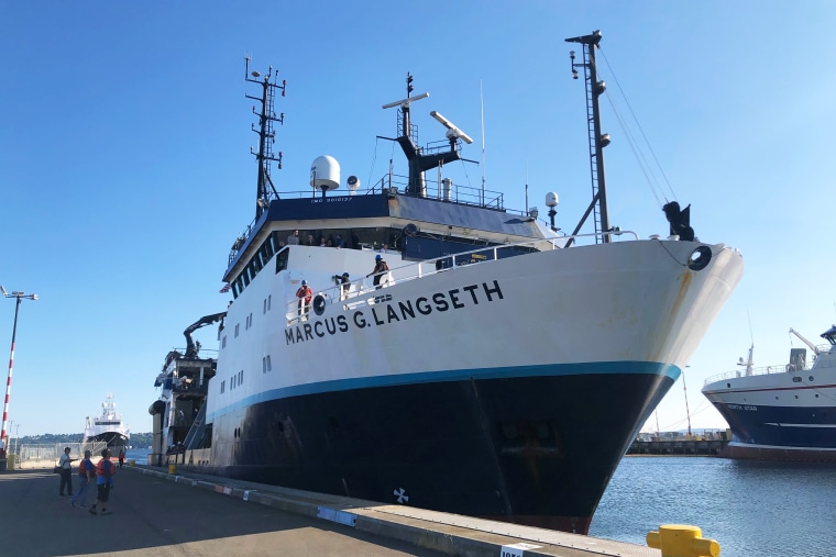
The Cascadia Subduction Zone is a megathrust fault where one tectonic plate, the Juan de Fuca plate, dives beneath another plate, the North American continent. The new data from these studies will help scientists assess earthquake and tsunami risk for this region and potentially redefine earthquake building standards.
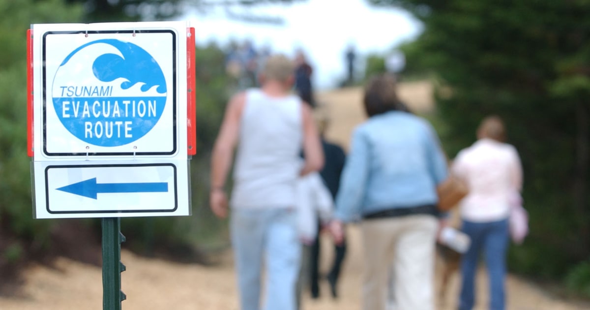
Despite progress in understanding this potential threat, it is still unknown when 'the big one' will occur and its exact impacts. Scientists warn that the Pacific Northwest is overdue for a major quake, with the last significant event occurring around 1700.
The Cascadia Subduction Zone is divided into at least four segments, each with different types of rock and varying seismic characteristics. Providing planners a closer look at risks to communities along the Pacific Northwest coast will be instrumental in improving forecasts of future quakes and tsunamis.
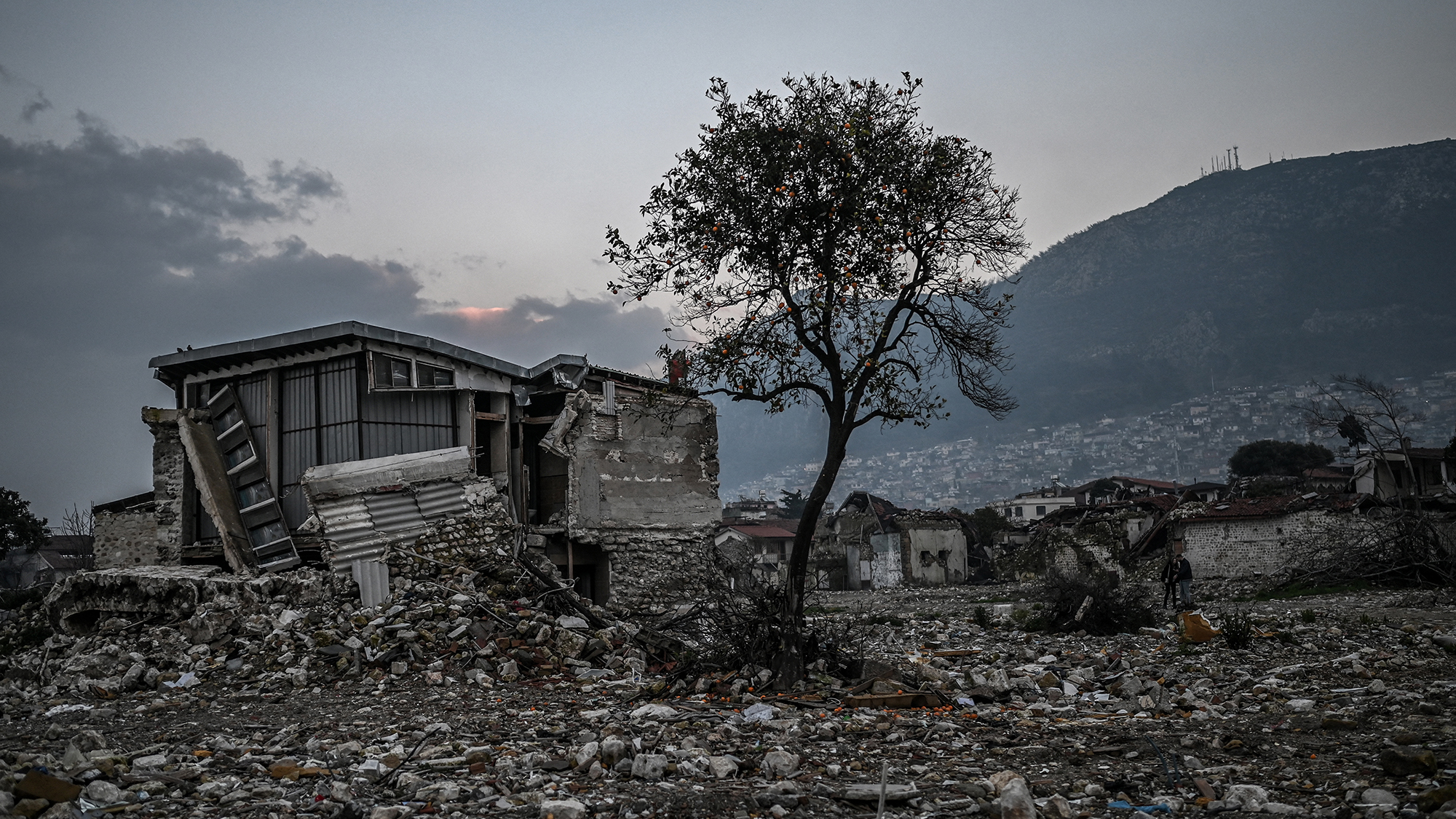
The new data from these studies will help fine-tune earthquake scenarios for the Pacific Northwest, focusing on earthquake hazard and tsunami risk. The potential for earthquakes and tsunamis as large as the biggest ones experienced on Earth is a cause for concern. Capable of generating tsunami waves up to 80 feet tall, these events could damage over half a million buildings.
Despite progress in understanding this potential earthquake threat, it is still unknown when 'the big one' will occur and its exact impacts. Scientists urge caution and preparation for the inevitable event.