Central and Southern US Braces for Severe Storms: Large Hail, Damaging Winds, and Heavy Rain in Plains Region

San Antonio, Texas, Texas United States of America
Eastern Colorado to experience severe thunderstorms with golf-ball-sized hail and wind gusts over 60 mph on Saturday
Kansas to develop showers and thunderstorms on Saturday that could intensify as they move eastward
Large hail, damaging winds, heavy rain possible
Oklahoma Panhandle into southwestern Kansas under Level 3 severe weather risk for potential damaging wind gusts on Saturday
Plains region, including Texas and Nebraska, at risk for severe weather
Residents in Jackson, Mississippi, Birmingham, Alabama, and Nashville, Tennessee on alert for potential heavy rainfall and flash flooding due to slow-moving showers on Sunday
Severe storms expected in central and southern US through weekend
Southeast at risk for excessive rainfall with Level 3 out of 4 'moderate risk' expected over parts of far southern Alabama and the southern and western Florida Panhandle
Strong to severe thunderstorms possible in northern and central Plains into Upper Midwest on Sunday with damaging wind gusts and large hail as primary threats
Central and Southern US Braces for Severe Storms: Large Hail, Damaging Winds, and Heavy Rain in Plains Region

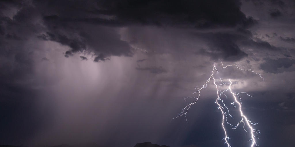
Severe storms are expected to impact the central and southern regions of the United States through this weekend, bringing a risk of large hail, damaging winds, and heavy rain. The Plains region, including Texas and Nebraska, is particularly at risk for severe weather.

On Saturday, eastern Colorado will experience severe thunderstorms that could produce golf-ball-sized hail and wind gusts over 60 mph. Around lunchtime on Saturday, showers and thunderstorms are expected to develop in Kansas and intensify as they move eastward. The Oklahoma Panhandle into southwestern Kansas is under a Level 3 severe weather risk for the potential of thunderstorms generating damaging wind gusts.

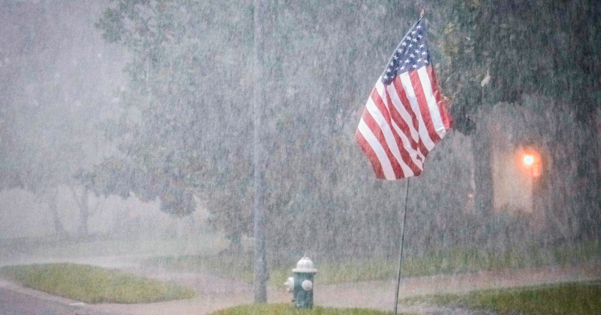
On Sunday, strong to severe thunderstorms will be possible from the northern and central Plains into the Upper Midwest, with damaging wind gusts and large hail as primary threats. Residents in Jackson, Mississippi, Birmingham, Alabama, and Nashville, Tennessee are on alert for potential heavy rainfall and flash flooding due to slow-moving showers.

The Southeast is also at risk for excessive rainfall with a Level 3 out of 4 'moderate risk' expected over parts of far southern Alabama and the southern and western Florida Panhandle. Rain rates could exceed 2 inches per hour, leading to flooding incidents in multiple states.

Despite the threat of severe weather, residents are encouraged to stay informed and take necessary precautions. The National Weather Service advises against traveling during thunderstorms and urges people to seek shelter if a tornado warning is issued.


Confidence

100%

No Doubts Found At Time Of Publication

Sources

97%

  • Unique Points
    • Severe storms and heavy rains are expected to affect parts of the South following weeks of inclement weather that killed over 27 people.
    • A system is expected to develop out of the Rocky Mountains and introduce a chance of strong to severe thunderstorms across the High Plains and into western Texas on Saturday.
    • Midland, Texas, and Roswell, New Mexico, are the largest areas expected to be affected by storms in western Texas.
    • Damaging hail and wind gusts are likely in western Texas during the storms. A tornado or two is possible.
    • A separate system will drag showers and thunderstorms across east Texas and into much of the Mississippi Valley and Midwest on Saturday, with heavy rain potentially leading to flooding incidents in parts of Florida, Alabama, and Mississippi.
    • A flood watch is in place through Saturday afternoon in coastal Alabama and the western portion of the Florida panhandle.
    • Severe storms may bring a chance of damaging wind gusts, hail, and an isolated tornado across parts of the Dakotas, Nebraska, and Minnesota on Sunday.
    • Heavy rain is expected to hit parts of Washington, Oregon, and Idaho on Sunday. Flooding is possible in some areas.
  • Accuracy
    • A system is expected to develop out of the Rocky Mountains and introduce a chance of strong to severe thunderstorms across the High Plains and into western Texas on Saturday.
    • Midland, Texas, and Roswell, New Mexico, are the largest areas expected to be affected by storms in western Texas.
    • Damaging hail and wind gusts are likely in western Texas during the storms. A tornado or two is possible.
  • Deception (100%)
    None Found At Time Of Publication
  • Fallacies (100%)
    None Found At Time Of Publication
  • Bias (100%)
    None Found At Time Of Publication
  • Site Conflicts Of Interest (100%)
    None Found At Time Of Publication
  • Author Conflicts Of Interest (0%)
    None Found At Time Of Publication

100%

  • Unique Points
    • Severe storms will affect the northern and central Plains on Saturday night into Sunday.
    • Large hail and damaging winds are expected.
  • Accuracy
    No Contradictions at Time Of Publication
  • Deception (100%)
    None Found At Time Of Publication
  • Fallacies (100%)
    None Found At Time Of Publication
  • Bias (100%)
    None Found At Time Of Publication
  • Site Conflicts Of Interest (100%)
    None Found At Time Of Publication
  • Author Conflicts Of Interest (100%)
    None Found At Time Of Publication

100%

  • Unique Points
    • Severe weather is impacting millions from Nebraska to Texas on Saturday.
    • The Houston area is under a severe thunderstorm watch until 6 p.m. local time.
    • On Sunday, the risk for storms moves north with the Dakotas, Nebraska, western Minnesota and Iowa in the bull's-eye for damaging winds and large hail.
    • Triple-digit temperatures will hit cities including Sacramento, Phoenix and Las Vegas by the middle of the week.
  • Accuracy
    No Contradictions at Time Of Publication
  • Deception (100%)
    None Found At Time Of Publication
  • Fallacies (100%)
    None Found At Time Of Publication
  • Bias (100%)
    None Found At Time Of Publication
  • Site Conflicts Of Interest (100%)
    None Found At Time Of Publication
  • Author Conflicts Of Interest (100%)
    None Found At Time Of Publication

95%

  • Unique Points
    • At Dallas Fort Worth International Airport, more than 100 flights have been canceled and over 35% of all flights delayed due to the storms as of Friday afternoon.
    • Dozens of homes and businesses were destroyed in Texas this week. A construction worker was killed when a building collapsed around him near Houston on Tuesday.
  • Accuracy
    • Over 25 million people from southern Texas and New Mexico to Kansas and Colorado are at risk from the storms.
    • The National Weather Service’s Storm Prediction Center warns of strong wind gusts, hail larger than 2 inches in diameter, and isolated tornadoes in west Texas.
    • Cities potentially affected by the storms include San Antonio, Texas; Little Rock, Arkansas; and Pueblo, Colorado.
    • At least 22 people were killed during Memorial Day weekend as deadly weather hit the southern Plains region.
  • Deception (100%)
    None Found At Time Of Publication
  • Fallacies (100%)
    None Found At Time Of Publication
  • Bias (100%)
    None Found At Time Of Publication
  • Site Conflicts Of Interest (100%)
    None Found At Time Of Publication
  • Author Conflicts Of Interest (100%)
    None Found At Time Of Publication

98%

  • Unique Points
    • Multiple systems are threatening severe weather and flash flooding in the central and southern Plains through this weekend.
    • Severe storms are expected to lash eastern Colorado, including the areas just east of Denver, early Saturday afternoon, potentially producing golf-ball-sized hail, frequent lightning, wind gusts over 60 mph and perhaps brief tornadoes.
    • FOX Weather Meteorologist Michael Estime predicts that around lunchtime severe thunderstorms will blossom into showers and then intensify as they move eastward, crisscrossing the state of Kansas.
    • The NOAA’s Storm Prediction Center has issued a small area of Level 3 severe weather risk centered on the Oklahoma Panhandle into southwestern Kansas for the risk of thunderstorms generating gusts of 60-80 mph.
    • Strong to severe thunderstorms will also be possible from the northern and central Plains into the Upper Midwest on Sunday with damaging wind gusts of 60 mph or more and large hail as primary threats especially over central Nebraska.
    • Residents in Jackson, Mississippi, Birmingham, Alabama, and Nashville, Tennessee are on alert for potential heavy rainfall and flash flooding due to slow-moving showers and thunderstorms capable of training over the same area.
    • A Level 3 out of 4 ‘moderate risk’ of excessive rainfall is expected over parts of far southern Alabama and the southern and western Florida Panhandle, with rain rates potentially exceeding 2 inches per hour and up to 5 inches of rain affecting multiple states.
    • There is also a possibility of a few damaging wind gusts as part of the flash flood threat in the central and southern U.S.
    • The storms are expected to become more scattered on Sunday.
  • Accuracy
    • Severe storms are expected to lash eastern Colorado, including the areas just east of Denver, early Saturday afternoon, potentially producing golf-ball-sized hail, frequent lightning, wind gusts over 60 mph and perhaps brief tornadoes.
    • FOX Weather Meteorologist Michael Estime predicts that around lunchtime severe thunderstorms will blossom into showers and then intensify as they move eastward, crisscrossing the state of Kansas.
    • The NOAA’s Storm Prediction Center has issued a small area of Level 3 severe weather risk centered on the Oklahoma Panhandle into southwestern Kansas for the risk of thunderstorms generating gusts of 60-80 mph.
    • Strong to severe thunderstorms will also be possible from the northern and central Plains into the Upper Midwest on Sunday with damaging wind gusts of 60 mph or more and large hail as primary threats especially over central Nebraska.
    • Residents in Jackson, Mississippi, Birmingham, Alabama, and Nashville, Tennessee are on alert for potential heavy rainfall and flash flooding due to slow-moving showers and thunderstorms capable of training over the same area.
    • A Level 3 out of 4 ‘moderate risk’ of excessive rainfall is expected over parts of far southern Alabama and the southern and western Florida Panhandle, with rain rates potentially exceeding 2 inches per hour and up to 5 inches of rain affecting multiple states.
    • There is also a possibility of a few damaging wind gusts as part of the flash flood threat in the central and southern U.S.
  • Deception (100%)
    None Found At Time Of Publication
  • Fallacies (100%)
    None Found At Time Of Publication
  • Bias (100%)
    None Found At Time Of Publication
  • Site Conflicts Of Interest (100%)
    None Found At Time Of Publication
  • Author Conflicts Of Interest (100%)
    None Found At Time Of Publication